©
Barbara Luidold
Gatschbergway
gemiddeld Autumn hikes · Grimming-Donnersbachtal
Tourkenmerken
Conditie
Tourinformatie
Parcours: 15.81 km
Duur: 04:45 h
Beklimming: 553 m
Afdaling: 553 m
Beste jaargetijde
Januari
Februari
Maart
April
Mei
Juni
Juli
Augustus
September
Oktober
November
December
De tour
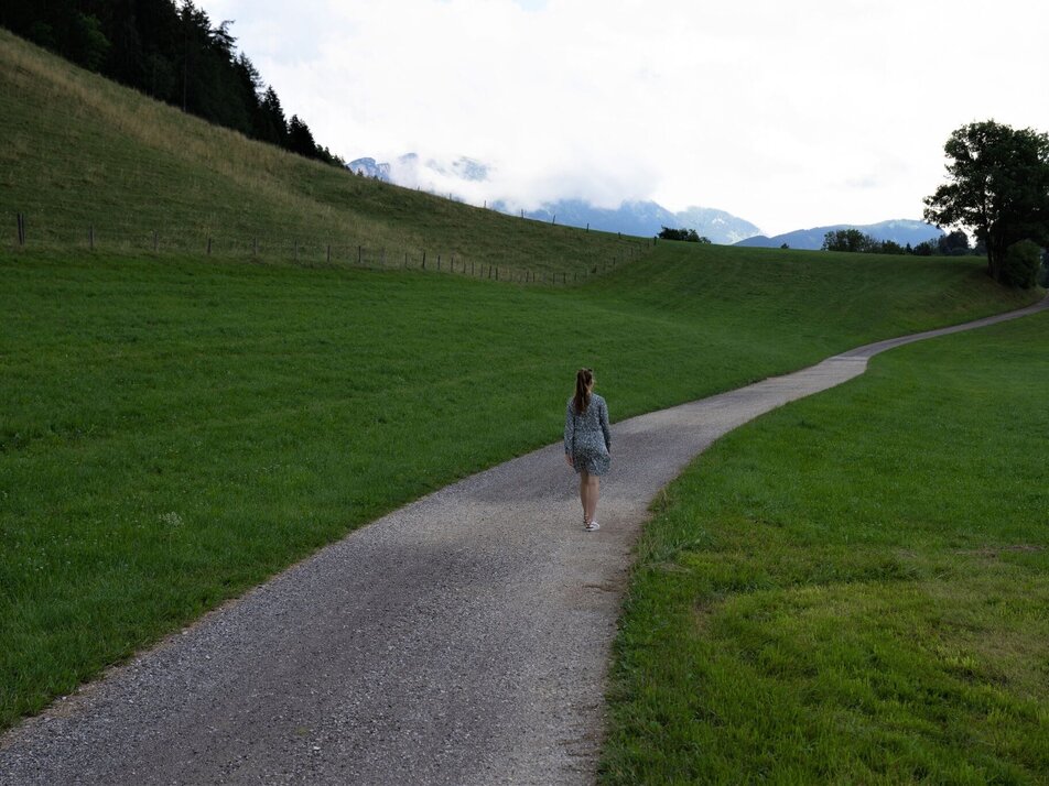
Somewhat hidden from the hustle and bustle of everyday life, you stroll along leisurely in the beginning before the tour increases in altitude and leads you up to the Gatschberg. Enjoy the silence of the forest and feel especially connected to nature.
Fotogalerij


Nadere informatie
Routebeschrijving
Follow the marked trail via Lantschern and Gatschen, past the Steiner farm up to Gatschberg. A detour to the transmitter is worthwhile before you stroll via the Puttererlehen and Quilk (the 3rd district) back to the village.
Way number: 2
Start
In Wörschach or Trautenfels leave the Ennstalbundesstraße (B320) and continue to the center of Aigen.
With the bus to the bus station ,,Aigen Ort'' oder ,,Putterersee''. Near there is the start point.
The next trainstation is 6 kilometers away from the beginning of the tour.
Parkeren
Free Parking at the tennis court
Start
Parking at the tennis court
Bestemming
Parking at the tennis court
Equipment
- Plan your trip in advance, taking into account walking time, distance, elevation gain, hazards, and weather reports.
- Let others know where you are going and when you want to be back.
- Turn back in good time if the weather deteriorates. If you are caught in a thunderstorm, stay away from free-standing trees and wait out the storm, crouching if possible.
- Stay on marked trails and remember to close pasture fences.
- If you are a dog owner: Clarify before the hike if you need to cross a pasture. Keep your dog on a leash and make sure it stays calm. If a cow attacks, let the dog off the leash immediately. Never pick him up to defend him.
Tip van de auteur
Go up to the Transmitter, only 10 minutes.
Overige informatie en links
Tourism information: www.schladming-dachstein.at
Schladming-Dachstein Tourist Office
Ramsauerstraße 756
8970 Schladming
T: +43 3687 23310
info@schladming-dachstein.at
SCHLADMING-DACHSTEIN Hiking EAST. Available free of charge from tourist offices and accommodation providers.
SCHLADMING-DACHSTEIN Hiking Map 1:50,000
Weersvooruitzichten
Datum kiezen
Dry and sunny throughout the day with hardly any clouds.
Dry and sunny throughout the day with hardly any clouds.
Dry and sunny throughout the day with hardly any clouds.


