Panorama Runde
trudne otwarte Nordic Walking
Charakterystyka wycieczki
Warunek
Informacje o wycieczce
Trasa: 8.2 km
Okres obowiązywania: 01:00 h
Wejście: 397 m
Zejście: 402 m
Najlepsza pora roku
Styczeń
Luty
Marzec
Kwiecień
Maj
Czerwiec
Lipiec
Sierpień
Wrzesień
Październik
Listopad
Grudzień
Wycieczka
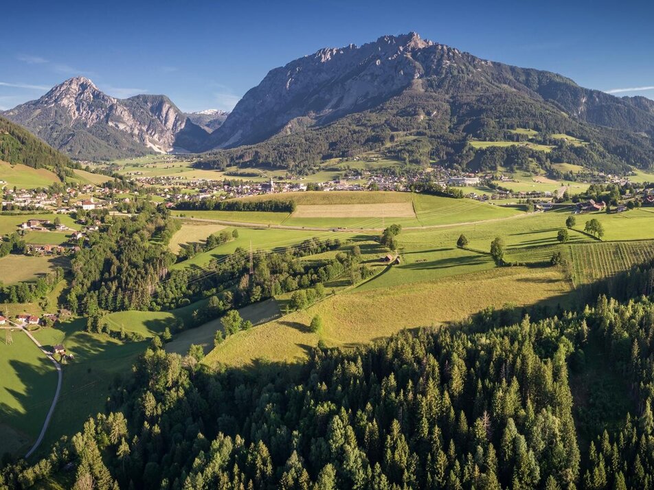
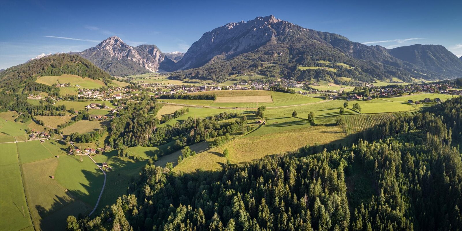
This circular hiking trail lives up to its name. Via the Stoderstraße and the picturesque Gröbminger Alm, the trail leads through a section of forest towards Freienstein. From the clearing along the Schneerosenhügel hill, a wonderful view of the Stoderzinken, Kammspitze and Grimming invites you to linger. The trail continues through a section of forest to Gröbming and along the Grömingerbach stream back to the starting point.
Translated with DeepL.com (free version)
Translated with DeepL.com (free version)
Galeria obrazów

Dalsze informacje
Przyjazd
From Salzburg: A 10 Tauernautobahn to Altenmarkt/Pongau junction - B 320 Ennstalbundesstraße - Gröbming
From Graz: A 9 Phyrn Motorway to St. Michael junction - Liezen B 320 to Gröbming
From Linz: A 9 Phyrnautobahn to Liezen (Bosrucktunnel MAUT!! or Phyrnpass) - B 320 to Gröbming
Parkowanie
public parking places towards the police-station in Gröbming
Equipment
suitable footwear, weatherproof clothing


