Mahdfeldalm circuit hike
snadné Family hikes · Naturpark Sölktäler
Vlastnosti túry
Vhodnost
Technika
Informace o túře
Trasa: 5.6 km
Doba trvání: 02:30 h
Výstup: 360 m
Sestup: 360 m
Nejlepší roční období
Leden
Únor
Březen
Duben
Květen
Červen
Červenec
Srpen
Září
Říjen
Listopad
Prosinec
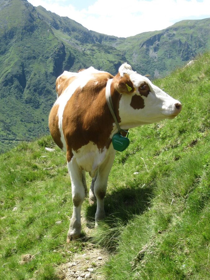
Fotogalerie


Více informací
Popis trasy
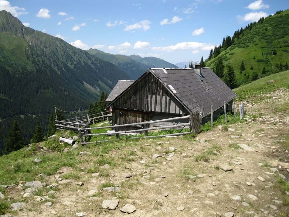
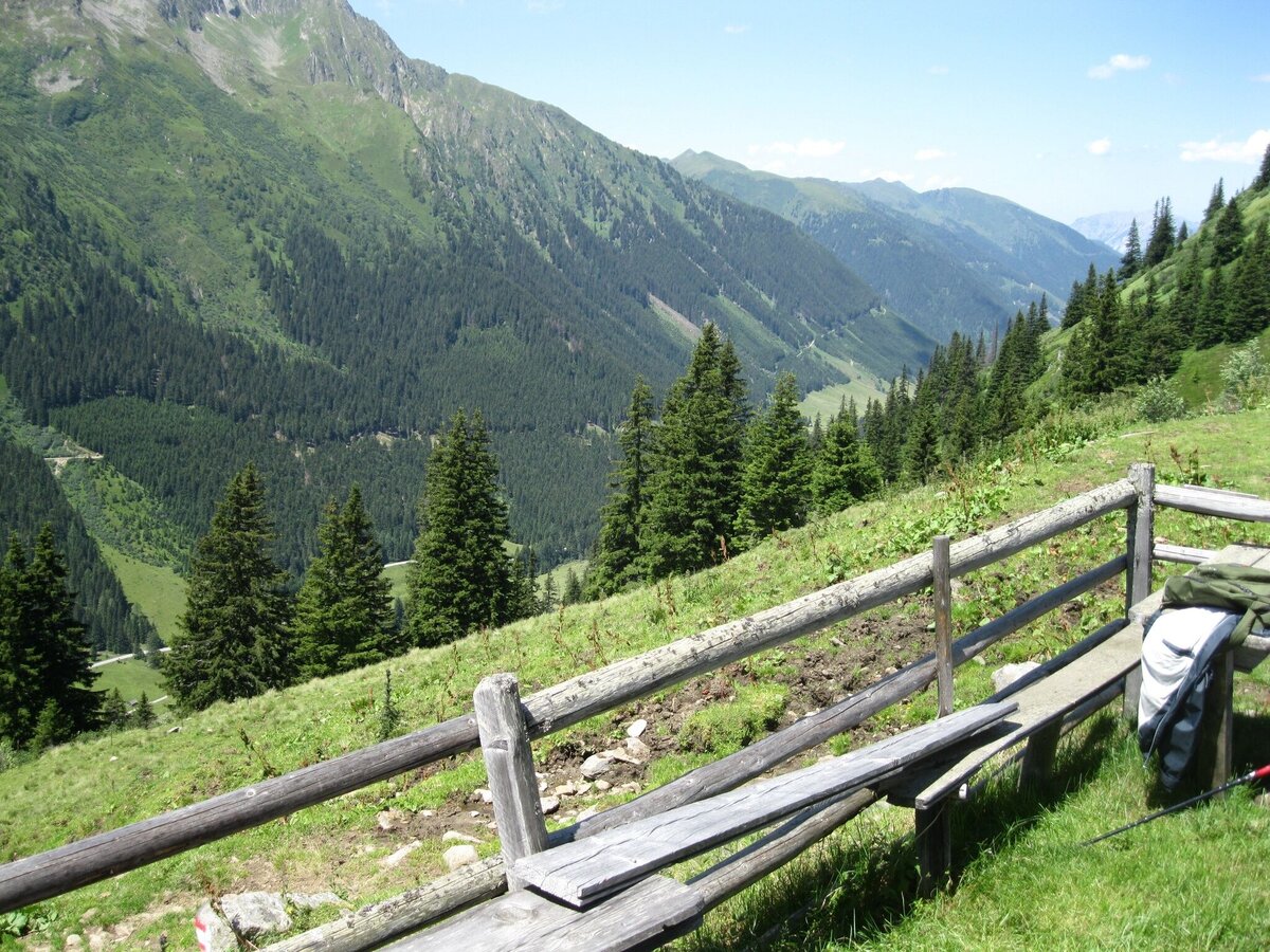
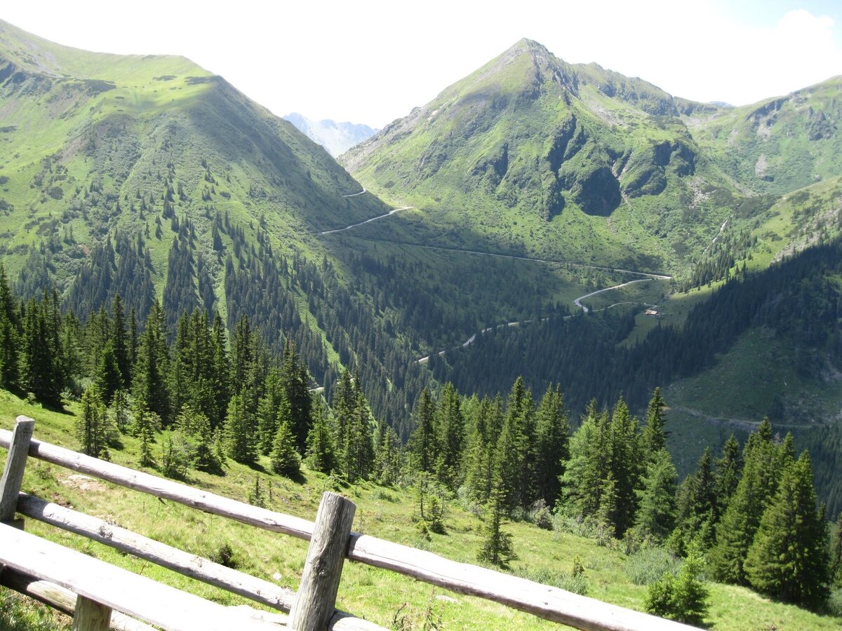
From the parking lot on the Sölkpaßstrasse near Kaltenbachalm you hike down to the Winkleralmkehre. Here you follow the alp road to the right above the Erzherzog-Johann-Hütte and walk in an arc through the cirque. You cross several ditches all the way to the Mahdfeldalm.
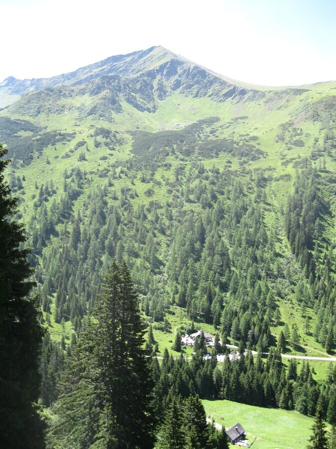
Once there, you can enjoy the magnificent view of Deneck and the Großsölktal. You then climb a little steeper down through the forest to the Winkleralm, which also invites you to stop off.
Once there, you can enjoy the magnificent view of Deneck and the Großsölktal. You then climb a little steeper down through the forest to the Winkleralm, which also invites you to stop off.
Příjezd
Turn off the Ennstalstraße B320 at Pruggern (west) or Espang (east) in the direction of the Sölktäler Nature Park. In Stein a.d. Enns turn off towards Sölkpass. After approx. 23 km you come to the parking lot next to the Sölkpass road.
Arrival at Stein/Enns train station with ÖBB.
Cab Stefan Mayer: +43 676 54 09 858
Valley bus from July 5 to September 7, 2025 - this makes crossings in the Sölktäler Nature Park possible. You can also travel comfortably by train and the valley bus will take you to the starting point of your hike. Click here for the timetable.
Cab Stefan Mayer: +43 676 54 09 858
Valley bus from July 5 to September 7, 2025 - this makes crossings in the Sölktäler Nature Park possible. You can also travel comfortably by train and the valley bus will take you to the starting point of your hike. Click here for the timetable.
Parkování
Parking Kaltenbachkehre - Sölkpass
Začátek
Parking Sölkpassstraße - Kaltenbachalm
Cíl
Parking Sölkpassstraße - Kaltenbachalm
Weather changes, rapid drop in temperature, thunderstorms, wind, fog and snow fields are objective dangers and require the right behavior on the way. Hut keepers are experienced mountain connoisseurs, they can give good tips on the weather and the course of the trail. Lack of equipment, overestimation of one's own abilities, carelessness, poor physical condition and a wrong assessment can lead to critical situations. During thunderstorms: avoid peaks, ridges and rope belays at all costs.
GPS data and orientation aids: Available GPS data - as well as hiking maps - are only an orientation aid, since they can never represent an exact image or the richness of detail of a path in reality. Especially in the case of danger spots, it must therefore always be decided in the end on the basis of the conditions on site whether and how the further course of the path looks like.
In case of emergency, please dial the following emergency numbers:
No. 140 - for alpine emergencies - Austria-wide
No. 112 - Euro emergency call GSM emergency call service
Take rainproof and warm clothes and enough water, possibly also a snack, wear shoes with non-slip profile soles. A first aid kit should also be in your backpack.
Tipy autora
Refreshment possibility at the Winkleralm.
SummitLynx- Your digital summit and hut book - available worldwide and always with you!
SummitLynx- Your digital summit and hut book - available worldwide and always with you!
Další informace a odkazy
Mountain guides from the region: www.schladming-dachstein.at/mountainguides
For more information, please contact the Schladming Dachstein Tourist Office - Sölktäler Nature Park Information Center:
Phone: +43 3687 23310 501
mailto:info@schladming-dachstein.at
Stein an der Enns 107
8961 Sölk
The brochure “Schladming-Dachstein Hiking” is available in all information offices in the region.
Předpověď počasí
Vybrat datum
Dry and bright with plenty of sunshine, clouds will be rare.
Dry and sunny throughout the day with hardly any clouds.
Dry and sunny throughout the day with hardly any clouds.


